
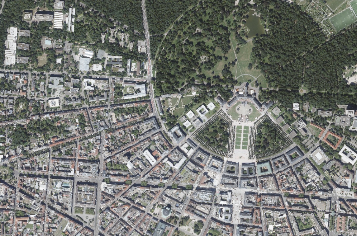
Digital orthophotos of Baden-Württemberg available
The digital orthophotos (DOP20) of the entire state of Baden-Württemberg are now available on CODE-DE!
Until now, our platform only featured a test dataset of digital orthophotos (DOP20) from Baden-Württemberg, limited to the Karlsruhe area. Through an expanded collaboration with the State Office for Geoinformation and Land Development Baden-Württemberg (LGL-BW), this dataset has now been significantly extended.
All DOP20 from the latest aerial survey are now available across the entire state via CODE-DE. These high-resolution, georeferenced aerial images provide comprehensive coverage and can be used for a wide range of applications in administration, research, and industry.
Find out more on our portfolio page about the data set!




