
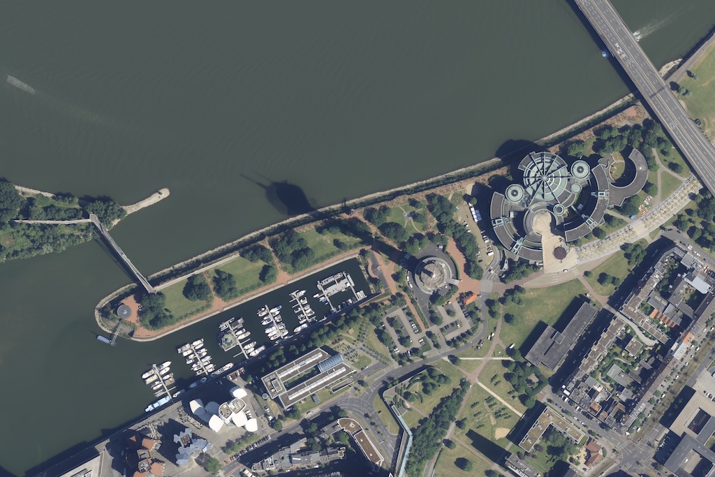
Digital orthophotos - North Rhine-Westphalia
In addition to the digital orthophotos of Thuringia, the digital orthophotos of North Rhine-Westphalia are now also available on CODE-DE. Image flights are carried out every two years in spring (without foliage) and summer (with foliage).
The data covers the whole of North Rhine-Westphalia and was generated by continuous aerial surveys between 2022 and 2024. The geometric resolution is 10 cm, which enables a detailed visualisation of the recorded areas. The reference system used is EPSG:25832, which corresponds to ETRS89 / UTM Zone 32N. The data is available in the JPEG2000 file format, which is lossy compressed (F10). In addition, the tiling or sheet section is in a size of 1 x 1 km.
The data is available on individual request. Please create a support ticket to request the access data.
Further information on the data can be found here.




