
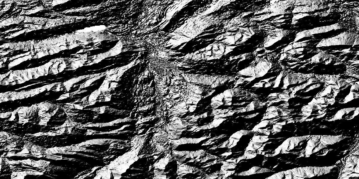
Copernicus DEM (GLO-30)
GLO-30 is globally available and has a spatial resolution of 30 m. The data can be used without restriction - with a few exceptions due to legal requirements.
On CODE-DE there is an own collection available, GLO-30 - Limited, where exactly this data is excluded. Therefore data of this collection can be used without any restrictions for processing in the CODE-DE cloud as well as for downloading. Quicklooks are available globally for all GLO-30 data.
The product GLO-30 covers an area of 149 million km2 - and thus the entire land surface including Antarctica. CODE-DE GLO-30 is available both in DGED (Product Type: DGE_30) and DTED (Product Type: DTE_30) format.
Grid Spacing in latitude direction:
- INSPIRE format: 1.0 arcsec
- DGED format: 1.0 arcsec
Absolute Vertical Accuracy:
- less than 4m
- 90% linear error
Relative Vertical Accuracy:
- less than 2m for slopes below or equal 20%
- less than 4m for slopes above 20%
- 90% linear point-to-point error within an area of 1° x 1°
Absolute Horizontal Accuracy:
- less than 6m
- 90% circular error
Processing/ Product quality/ aux. data:
- File Format: GeoTIFF and DTED
- File Data Type: 32 Bit, floating (DGED and INSPIRE format) or 16 Bit, signed (DTED format)
- Tile Extent: 1°x1° latitude/longitude
- Projection: Geographic Coordinates
- Coordinate Reference System: Horizontal WGS84-G1150 (EPSG 4326); Vertical EGM2008 (EPSG 3855)
- Vertical Unit: meters
- Grid alignment: RasterPixelIsPoint
Copernicus DEM quality layers (data format and type):
- Editing Mask: 8 Bit unsigned integer, GeoTIFF
- Filling Mask: 8 Bit unsigned integer, GeoTIFF
- Height Error Mask: 32 Bit floating point, GeoTIFF
- Water Body Mask: 8 Bit unsigned integer, GeoTIFF
- Source Data Layer: KML vector file
- Accuracy Layer: KML vector file
Usage requirements
There are certain requirements that must be met for use. Some data or services require an individual application. For more information, please contact CODE-DE Support.
| Required? | Remark | |
| Registration on CODE-DE | Yes | --- |
| Cloud resources on CODE-DE | Yes | --- |
| Individual request | No | --- |
Access
Depending on the environment and the intended use, there are several ways to access the data:
- EO Browser: -
- Data Explorer: layer COP-DEM and then either DTE_30 or DGE_30
- Path to repository on a Virtual Machine:
- /codede/auxdata/CopDEM
More information
Further information on this product can also be found on the following external pages:
- ESA - Copernicus DEM
- ESA - Copernicus DEM - Product Handbook
- Verordnung zum Satellitendatensicherheitsgesetz
Terms of use
Use of the product is subject to the following terms of use:




