
Digital Orthophotos - Brandenburg and Berlin
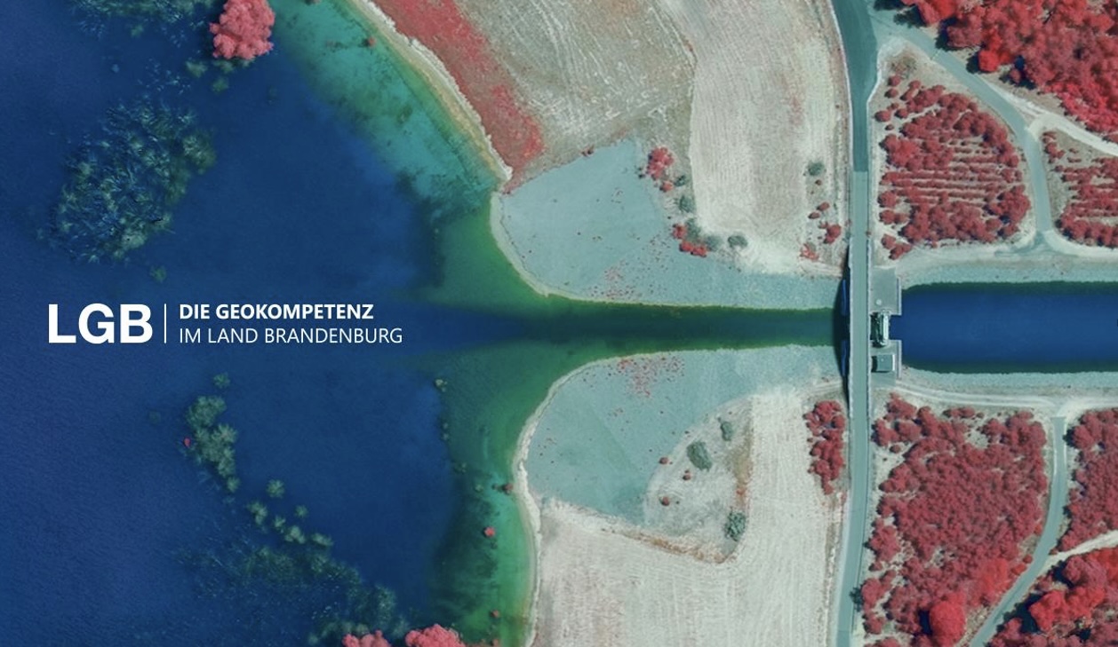
The German federal states of Brandenburg and Berlin make their digital orthophotos available to the public via CODE-DE - up-to-date, comprehensive and in high quality.
The raster data of the True Orthophotos (TrueDOP) are obtained from oriented aerial photographs and a surface model derived from them and made available as georeferenced mosaics. These images of the earth's surface and the objects on it are true to scale and free of distortions and folding effects. The data is continuously updated, ideally through spring aerial surveys.
The available image material has the following characteristics:
- Spatial coverage: Brandenburg and Berlin statewide (plus parts of neighboring federal states, as tiles are not clipped at the border)
- Time of acquisition: always the current flight (typically the last 3 years; from 2025 the 2-year cycle starts in Brandenburg)
- Geometric resolution (ground resolution): 20 cm
- Reference system: EPSG:25833 - ETRS89; 6-digit, UTM projection, German main elevation network 2016 (DHHN2016)
- File format: TIFF (uncompressed) + tfw (for georeferencing)
- Tiling / sheet section: 1 x 1 km
Overviews of the sheet section can be found in the aerial image folder under “befliegungsdaten_shape_overview”.
Usage requirements
- Registration on CODE-DE: yes
- Cloud resources on CODE-DE: yes
- Individual request: yes (to establish access)
Data access
This data is available upon individual request. Please create a support ticket to request the access data.
More information
More information is available from these external sources, among others:
- https://geobasis-bb.de/lgb/de/geodaten/luftbilder/luftbilder-aktuell/#
- News in the Aktualitätenviewer
- Show metadata in the Brandenburg geoportal: https://geoportal.brandenburg.de/
Please send suggestions, comments and questions directly to kundenservice@geobasis-bb.de, phone +49 331 8844-123.
Terms of usage
The data can be used in accordance with the “Datenlizenz Deutschland - Namensnennung - Version 2.0” (https://www.govdata.de/dl-de/by-2-0). Attribution: “GeoBasis-DE/LGB”, example: “© GeoBasis-DE/LGB, dl-de/by-2-0, (data modified)”, (parenthesis = optional)
Note: if data from the federal state of Berlin is also used, the copyright notice must be supplemented by the note “© Geoportal Berlin, dl-de/zero-2-0 ”. Example: “© GeoBasis-DE/LGB, dl-de/by-2-0; © Geoportal Berlin, dl-de/zero-2-0 (data modified)”, (parenthesis = optional)




