
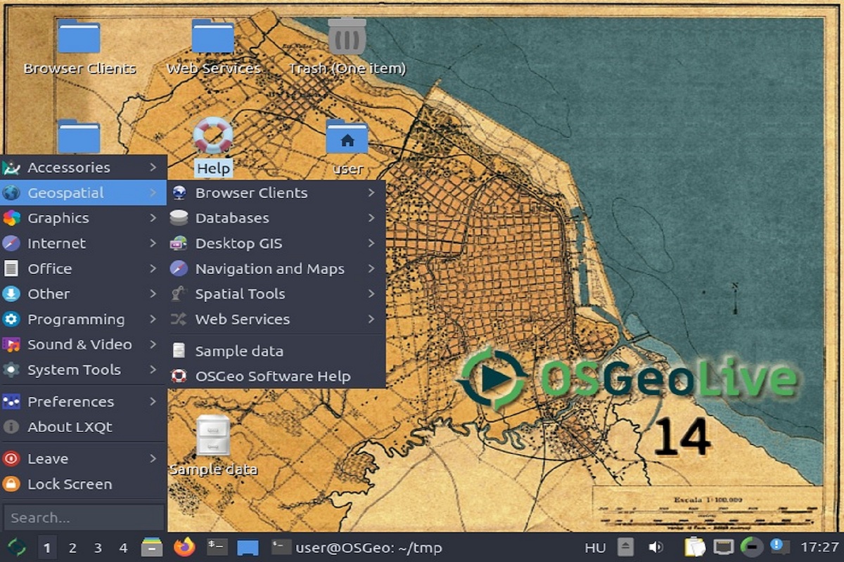
Image: OSGeoLive
OSGeoLive is a project of the OSGeo Foundation. The OSGeo Foundation is a non-profit organization whose goal is to promote the worldwide distribution of open geospatial technology. OSGeoLive is a Linux distribution of geospatial open source software with nearly 50 geospatial applications, free world maps, sample datasets and more.
The OSGeoLive 16.0 image provides pre-configured applications for a range of geospatial use cases.
Some of the content available with OSGeoLive 16.0:
- Desktop GIS (GRASS, QGIS, ...)
- Browser Facing GIS (GeoMoose, GeoNode, OpenLayers, etc...)
- Web Services (Geoserver, Mapserver, etc...)
- Data Stores (PostGIS, Open Data Cube, ...)
- Navigation and Maps (Marble, JOSM, OpenStreetMap, ...)
- Spatial Tools (OTB, Mapnik, Jupyter Notebook, R, ...)
- Domain Specific GIS (XyGrib)
- Data (selected spatial data sets)
- Geospatial Libraries (gdal, ogr, geotools, proj,...)
In addition to the standard tools available in the system, the OSGeoLive image has been equipped with the ESA SNAP tool v. 8.0 for processing satellite data.
The Sentinel Application Platform (SNAP) unifies all Sentinel toolboxes. The basic functionality includes:
- Opening of a product
- Exploration of product components such as bands, masks and point grids
- Navigation tools
In addition, it was equipped with the SNAPHU tool. SNAPHU is a plugin for SNAP used for phase unbundling. SNAPHU is an implementation of the "statistical-cost, network-flow" algorithm for phase unwrapping proposed by Chen and Zebker.
Usage requirements
There are certain requirements that must be met for use. Some data or services require an individual application. For more information, please contact CODE-DE Support.
| Required? | Remark | |
| Registration on CODE-DE | Yes | --- |
| Cloud resources on CODE-DE | Yes | --- |
| Individual request | No | --- |
More information
Further information on this product can also be found on the following external pages:




