
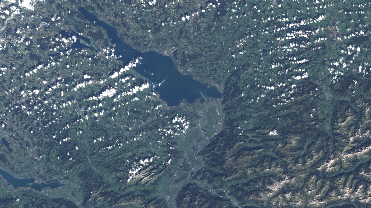
Landsat 5
Having access to Landsat imagery provides the irreplaceable opportunity to observe landscape change on a long-term and global scale. These featured case studies demonstrate the value of Landsat imagery by providing specific examples of how people around the world are using the data to answer meaningful questions.
Landsat 5 was launched from Vandenberg Air Force Base in California on March 1, 1984, and like Landsat 4, carried the Multispectral Scanner (MSS) and the Thematic Mapper (TM) instruments. Landsat 5 delivered Earth imaging data nearly 29 years. The Landsat 5 satellite orbited the the Earth in a sun-synchronous, near-polar orbit, at an altitude of 705 km (438 mi), inclined at 98.2 degrees, and circled the Earth every 99 minutes. The satellite had a 16-day repeat cycle with an equatorial crossing time: 9:45 a.m. +/- 15 minutes.
Landsat 5 data were acquired on the Worldwide Reference System-2 (WRS-2) path/row system, with swath overlap (or sidelap) varying from 7 percent at the Equator to a maximum of approximately 85 percent at extreme latitudes. Data products created from over 600,000 Landsat 5 Multispectral Scanner (MSS) and more than 2.7 million Landsat 5 Thematic Mapper (TM) scenes are available.
All Landsat Level-1 data products are created using the best available processing level for each particular scene. The processing level used is determined by the existence of ground control points (GCP), elevation data provided by a Digital Elevation Model (DEM), and/or data collected by the spacecraft and sensor (Payload Correction Data - PCD).
Landsat scenes are processed to a Level-1. Three different Level-1 options are available:
- L1TP/L1T - precision and terrain corrected product, when insufficient reference data is available
- L1GT - terrain corrected products are created when the systematic product has consistent and sufficient locational accuracy to permit the application of a terrain model
- L1GS/L1G - systematic products are created when the locational accuracy is not sufficient to apply terrain correction
Availability
- Germany: Full archive of data recorded by ESA ground stations over Germany, 1984-04 - 2011-11
- Europe: Full archive of data recorded by ESA ground stations over Europe, 1984-04 - 2011-11
- Global: -
Updates
- none - no more operating
Access
Depending on the environment and the intended use, there are several ways to access the data:
- EO Browser: Landsat-5 ESA Archiv
- Data Explorer:
- Data Catalogue: CREODIAS
- Path to repository on a Virtual Machine:
- /eodata/Landsat-5




