
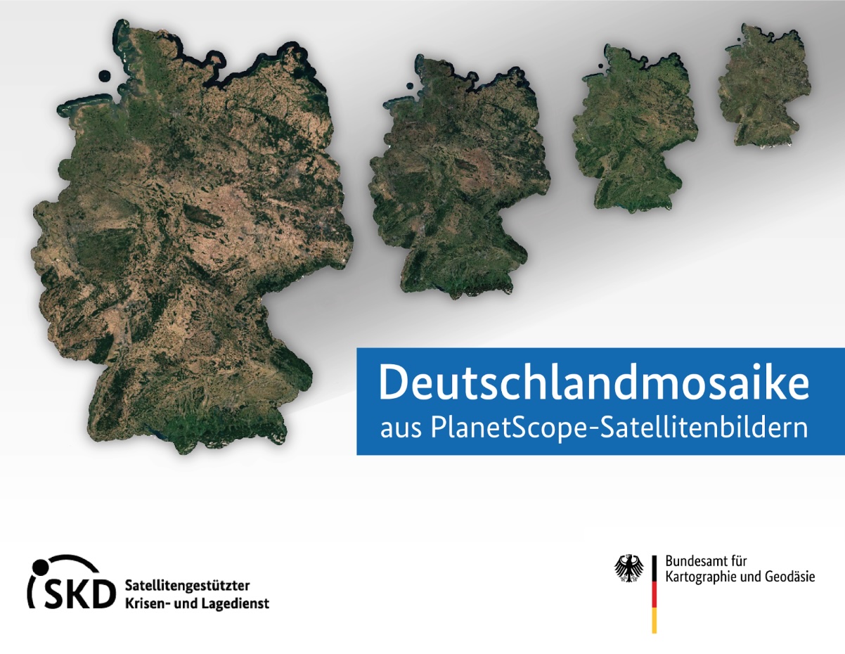
Planet Basemaps - Cloud-free mosaics over Germany
In cooperation with Planet Labs Germany GmbH, the Federal Agency for Cartography and Geodesy (BKG) and the Remote Sensing Service Centre (SF), which is part of the Satellite Based Crisis and Situation Service (SKD), are making various mosaics of the entire German federal territory available to all federal institutions free of charge. These so-called Planet Basemaps have been calculated from the best PlanetScope data for the months of April, June, August and October for the years 2021 and 2022.
Would you like to track developments, e.g. in agriculture, climate protection and infrastructure within Germany over the course of the year? Are you looking for a suitable data basis for mapping or would you like to create added value by combining it with your own geoinformation? Then, as a federal authority, you can use these Germany mosaics from PlanetScope data, which the BKG provides here in cooperation with CODE-DE, easily and free of charge.
PlanetScope data from 2020 is also provided (note: however, these are individual tiles and not mosaics).
This image material has the following characteristics:
- Spatial coverage: entire federal territory of Germany plus 10 km buffer zone
- Dates of inclusion: 2020, 2021 and 2022
- Geometric resolution (ground resolution):
- 2020: 3.125 x 3.125 m
- 2021 and 2022: 4.78 x 4.78 units (the actual spatial resolution of the mosaic quads varies depending on the latitude. At the equator it is 4.78 m, everywhere else it is lower)
- Reference system:
- 2020: EPSG:25832 - ETRS89 / UTM Zone 32N
- 2021 and 2022: EPSG:3857 - WGS 84 / Pseudo-Mercator
- File format:
- GeoTiff for image data
- ESRI shape for vector data
- Tiling / sheet section: for a better overview, there are overview files in the folders of the respective data (format: ESRI shapefile)
The following applies to the data for 2020:
- 5-band (RGB, Red Edge, NIR ) coverage
- Always 2 files represent a complete tile:
_ _ _3B_AnalyticMS_5b_metadata.json _
- Applies to the data for 2021 and 2022:
- 8-band coverage
- Always 5 files represent a complete tile:
_metadata.json _ortho_udm2.tif (‘Unusable data mask’) _provenance_raster.tif (shows which data in the mosaic comes from which tile) _provenance_vector.zip (vectorised provenance raster) _quad.tif (actual data file)
- For 2021, there are monthly composites of 4 weeks (‘mosaic’) and 6 weeks of coverage (‘sixweek_mosaic’), each for the months: April, June, August and October
Usage requirements
- Registration on CODE-DE: yes
- Cloud resources on CODE-DE: yes
- Individual request: yes (to establish access)
Data access
The use of this data is reserved for employees of federal authorities and institutional grant recipients with more than 50% federal participation in Germany. The PlanetScope basemaps are therefore only available on individual request. Please create a support ticket to request the access data.
More information
More information can be found here on these external sources, among others:
- https://www.bkg.bund.de/SharedDocs/Kurzmeldungen/BKG/DE/M-2023/231102-D-Mosaik.html
- https://www.bkg.bund.de/DE/Produkte-und-Dienste/Service-Fernerkundung/service-fernerkundung.html ( ⇒ see section ‘Mosaics’)




