
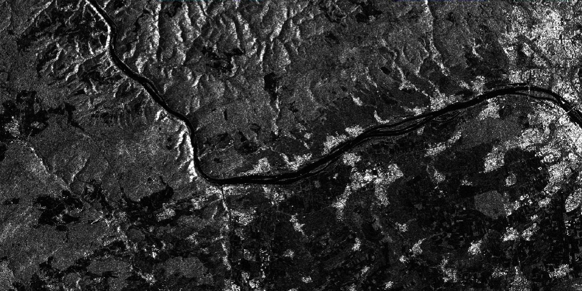
Sentinel-1 L2 BackScatter (BS)
The product Sentinel-1 L2 BackScatter (BS) provides terrain corrected backscatter data over Germany. Usually a data set is available shortly after the Sentinel-1 SLC data is available.
The collection offers very good initial data for further analyses based on single images. For an overview of long-term changes, the Sentinel-1 L3 BS - Monthly Composite created from this product is helpful.
Details
On this platform the terrain corrected collection is systematically generated from the Sentinel-1 GRD data using the SRMT.
Availability
- Germany: 2014-10 - now
- Europe: -
- Global: -
Updates
- Ongoing updates for each newly incoming Sentinel-1 dataset over Germany. Usually a data set is available 1-2 hours after the Sentinel-1 L1 GRD dataset is published at ESA.
Processing details
Modules of the SNAP tools (Sentinel Application Platform Tools) are used for the processing and the following data is taken into account:
- Sentinel-1 L1 GRD IW or EW in the respective polarizations
- Precise Orbit Information from ESA
- SRTM DEM 1x1 degree tiles
Further detailed information can be found by clicking on the links below.
Usage requirements
There are certain requirements that must be met for use. Some data or services require an individual application. For more information, please contact CODE-DE Support.
| Required? | Remark | |
| Registration on CODE-DE | Yes | --- |
| Cloud resources on CODE-DE | No | --- |
| Individual request | No | --- |
Access
Depending on the environment and the intended use, there are several ways to access the data:
- EO Browser: -
- Data Explorer:
- Data Catalogue: CODE-DE or CREODIAS
- Path to repository on a Virtual Machine:
- /codede/Sentinel-1/SAR/CARD-BS
- /eodata/Sentinel-1/SAR/CARD-BS
More information
Further information on this product can also be found on the following external pages:
Terms of use
Use of the product is subject to the following terms of use:




