
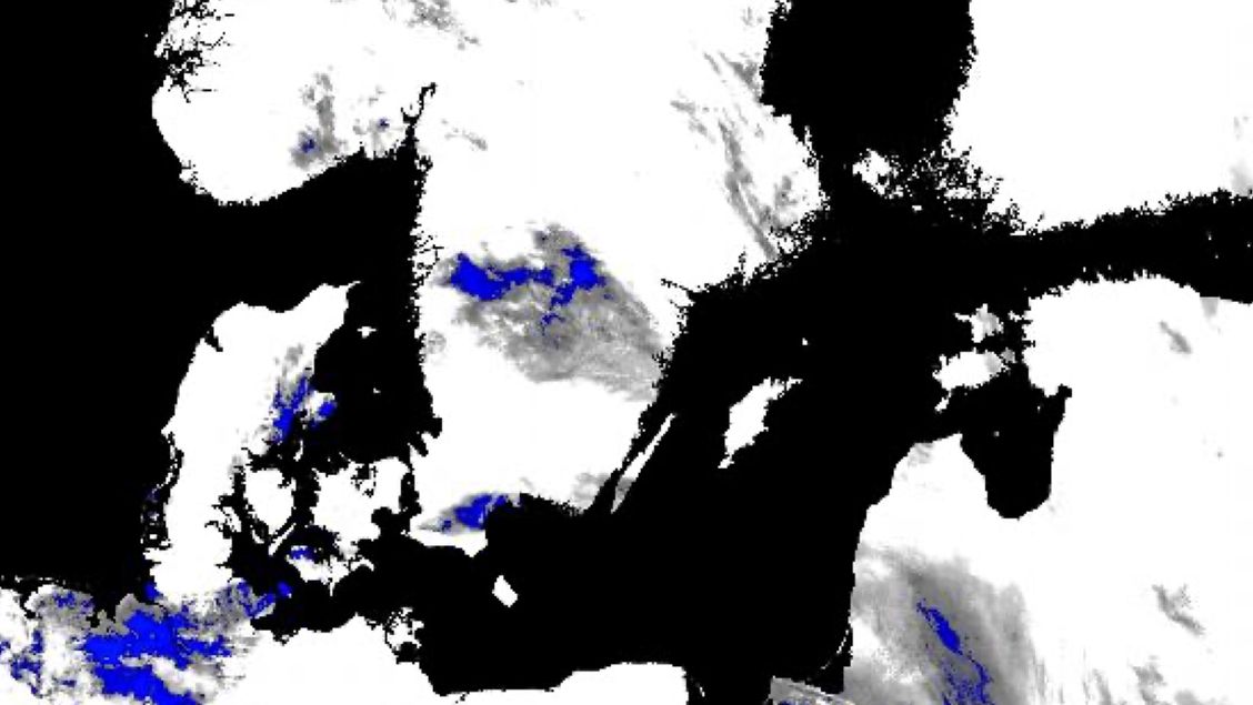
Sentinel-3 L2 SLSTR
The Sentinel-3 Level-2 products from SLSTR (Sea and Land Surface Temperature Radiometer) are produced using Level-1 products to compute sea surface temperature, land surface temperature and fire radiative power. Annotations associated with each pixel/channel/view are verified and gathered in the products.
LST - Land Surface Temperature
The SLSTR Level-2 LST product provides land surface parameters generated on the wide 1 km measurement grid. It contains a measurement file with Land Surface Temperature (LST) values with associated parameters - the LST parameters are computed and provided for each pixel (re-gridded or orphan) included in the 1 km measurement grid. This product also gathers 10 annotations files derived from Level-1 product.
The measurement dataset (MD) is indexed by across track and along track dimensions and include for each gridded pixel the LST values and their estimated total uncertainties as well as the exception flags associated to LST. The same parameters are provided for each orphan pixel.
One Annotation DataSet (ADS) is specifically associated with LST MD and provides, for each gridded pixel and orphan pixel:
- Normalised Difference Vegetation Index (NDVI)
- GlobCover surface classification code (noted biome)
- Fractional vegetation cover
- Total column water vapour
A validation status for each biome class is also provided. Except for the quality ADS, each ADS included in the Level-1B product, associated with the 1 km grid and the nadir view or associated to the tie-point grid are copied in this product as ADS.
FRP - Fire Radiative Power
The SLSTR Level-2 FRP product provides a measurement data file with Fire Radiative Power (FRP) values and associated parameters generated for each fire detected over the SLSTR 1 km grid, plus a number of annotation data file including information in support of the measurement data files, on a global scale.
WST - Water Single Temperature Sea Surface Temperature
The SLSTR Level-2 WST product respects the Group for High Resolution Sea Surface Temperature (GHRSST) L2P specification, and includes a single SST (Sea Surface Temperature) field derived from the best performing single-coefficient SST field in any given part of the swath, plus a number of supporting data fields providing context for the SST fields.
Each SST, previously generated during the SLSTR Level-2 algorithm or contained in the Level-2 WCT product, is atmospherically smoothed following the AATSR model. The 'best' product for the local conditions is then forwarded to the output field.
All the variables are gathered in one measurement file, called the 1 km L2P SST measurement dataset, generated on a wide 1 km measurement grid.
This file, indexed by across track and along track dimensions and by reference time, provides for each thermal SLSTR channel:
- Latitude and longitude coordinates of each pixel
- SST value
- SST time deviation from reference time and from analysis field
- Single Sensor Error Statistic (SSES) bias and standard deviation estimate
- Several contextual parameters (wind speed at 10 m, the fractional sea-ice contamination, the aerosol contamination indicator for each pixel) with the time difference between the SST and these data measurements
- A quality flag (gathering information about sensor and surface type, geographical contamination, problems during processing, Level-1B flags) and a quality indicator (from 0 = default value = unknown quality, to 1= excellent quality to 3 = extremely suspect) for SST.
Some parameters are also included in this file if a user-dependent switch, included in the SLSTR Level-2 configuration file, is set to '1'. These are:
- Satellite zenith angle of each pixel and each reference time
- Associated Top Of Atmosphere (TOA) Brightness Temperature (BT)
- Associated TOA noise equivalent BT
- SST total uncertainty
AOD - Aerosol Optical Depth
The SLSTR Level-2 AOD product provides one measurement data file gathering all retrieved and derived aerosol parameters associated with the SLSTR solar channels (except 1375 nm dedicated to cloud detection) and associated parameters. The data file is based upon the acquisition grid of SLSTR nadir images, but the SLSTR L1B grid is then binned to super 9x9 pixels, with a resolution of 4.5 km. The position and time of the centre pixel of each super-pixel, in addition to the position of the corner pixels, are included in this measurement file. No annotation data set is provided.
On this platform the NRT (near real time), STC (short time critical) and NTC (non time critical) products are available.
Availability
- Germany: 2016-04 - now
- Europe: 2016-04 - now
- Global: 2016-04 - now
Usage requirements
There are certain requirements that must be met for use. Some data or services require an individual application. For more information, please contact CODE-DE Support.
| Required? | Remark | |
| Registration on CODE-DE | No | --- |
| Cloud resources on CODE-DE | No | --- |
| Individual request | No | --- |
Access
Depending on the environment and the intended use, there are several ways to access the data:
- EO Browser: -
- Data Explorer:
- Data catalogue: CODE-DE or CREODIAS
- Path to repository on a Virtual Machine:
- /codede/Sentinel-3/SLSTR/SL_2_LST
- /codede/Sentinel-3/SLSTR/SL_2_WST
- /codede/Sentinel-3/SLSTR/SL_2_AOD__
- /codede/Sentinel-3/SLSTR/SL_2_FRP__
More information
Further information on this product can also be found on the following external pages:
Terms of use
Use of the product is subject to the following terms of use:




