
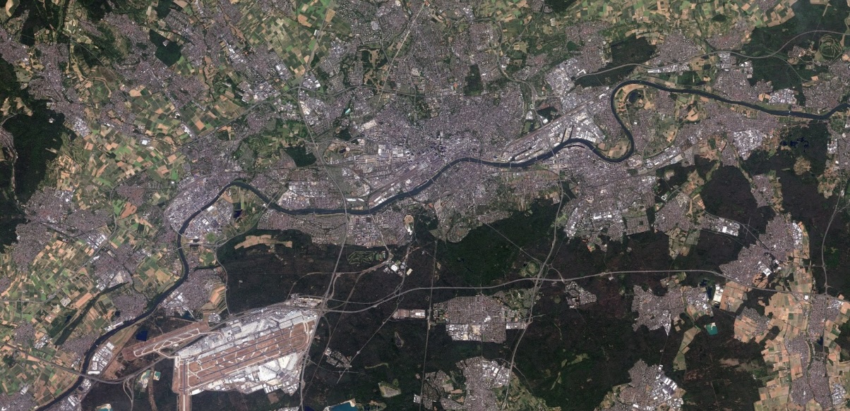
SPOT Coverage Germany
When using remote sensing data at the federal level, there is a need for up-to-date satellite images that, on the one hand, cover the German territory uniformly and completely and, on the other hand, have a high spatial resolution. Commercial satellite data from the SPOT mission fulfils both of these requirements in equal measure. The Remote Sensing Service Centre at the Federal Agency for Cartography and Geodesy (BKG) commissioned corresponding images of the German territory for the years 2021 and 2023.
The recorded data originate from the vegetation period (May to October) of the years 2021 and 2023 and have a spatial resolution of up to 1.5 metres.
The available image material has the following characteristics:
- Spatial coverage: entire federal territory of Germany
- Recording dates:
- 2021:
- Recording window: 1 May to 15 October
- Product level:
- Ortho
- 16 bit, Reflectance
- Bundle (PAN + 4 bands MS)
- Additional sensors: SPOT7
- 2023:
- Recording window: 1st mail to 30th September
- Product level:
- Ortho bundle block equalisation
- 16 bit, Reflectance
- Pan-sharpened (4 bands)
- Additional sensors: Pléiades 1A/B
- 2021:
- Geometric resolution (ground resolution):
- 1.5 m (PAN or PAN-sharpened),
- 6 m (MS: RGB, NIR)
- Reference system: EPSG:25832 - ETRS89 / UTM Zone 32N
- File format:
- GeoTiff for image data
- ESRI shape for vector data
- Tiling / sheet section: for a better overview, there are overview files in the folders of the respective data (format: ESRI shapefile)
Usage requirements
- Registration on CODE-DE: yes
- Cloud resources on CODE-DE: yes
- Individual request: yes (to establish access)
Data access
The use of this data is reserved for employees of federal authorities and institutional grant recipients with more than 50% federal participation. The SPOT basemaps are therefore only available on individual request. Please create a support ticket to request the access data.
More information
More information can be found here on these external sources, among others:





