
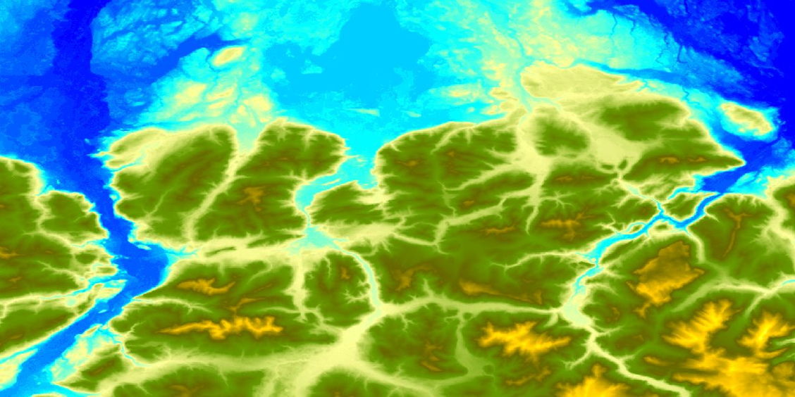
SRTM DEM
The SRTM DEM is based on the Shuttle Radar Topography Mission dated February 2000. The spatial resolution is 1 arc second (~30 meter).
Availability:
- Germany: complete
- Europe: up to 60° north latitude
- Global: between 56° south latitude and 60° north latitude
The SRTM data offers worldwide coverage of void filled data at a resolution of 1 arc-second (30 meters). Use and distribution of this high-resolution global data set is open.
The Shuttle Radar Topography Mission (SRTM) was flown aboard the space shuttle Endeavour February 11-22, 2000 as an international project to acquire radar data which were used to create the first near-global set of land elevations.
The radars used during the SRTM mission were a C-band Spaceborne Imaging Radar and the X-Band Synthetic Aperture Radar (X-SAR). The technology was modified for the SRTM mission to collect interferometric radar. Differences between the two signals allowed for the calculation of surface elevation.




