
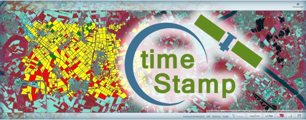
timeStamp
https://timestamp.community.code-de.org/
timeStamp is an application for analyzing changes in land use on open land. The service provides information on area-specific changes in land use based on remote sensing indices and temporal metrics. The main focus is on vegetation indices calculated from time series of Sentinel 1 and 2 data.
timeStamp bietet Module für die flächengenaue Prüfung von Zwischenfrüchten im Rahmen der Agrarförderung und des Flächenmonitorings der Gemeinsamen Agrarpolitik der EU (GAP) sowie für die Detektion von Nutzungsveränderungen mittels Zeitreihen-Parametern wie NDVI (z. B. im Naturschutz für das Flächenmonitoring von Maßnahmen).
Basic functions of remote sensing time series analysis
The multifunctional time series tool offers evaluation options for a variety of questions in area monitoring in the fields of environment and nature conservation. The application processes Sentinel-1 radar and Sentinel-2 spectral time series for areas and test periods selected by the user. It provides interdisciplinary information for monitoring vegetation and changes in land use in the form of standard indicators (e.g. NDVI), time series and change indicators.
Catch crop control
Indicators and algorithms were developed in collaboration with authorities for the use case "Control of catch crop areas within the framework of EU agricultural funding" in order to control the cultivation of areas with catch crops. The web application can be used to determine area-specific changes in use, e.g. for fields or areas subject to measures, or to issue inspection notices for application areas. Catch crop areas were mapped in the field and IACS and on-site inspection data were used as training and test data for the development of the algorithms.
For this subject-specific application function, additional inspection notes are issued for the inspection areas in the form of a traffic light system to support authorities in checking area-related measures. They can now focus on areas with ambiguous inspection results and thus use time-consuming and cost-intensive physical on-site inspections in a more targeted manner and plan them more efficiently.
timeStamp makes it possible to upload your own surface geometries and check them using remote sensing data. The test results are displayed as tables or time series graphics and in a web GIS application and can be downloaded for further use.
Background and objectives of the currently implemented application areas
The monitoring of area-related measures in agricultural subsidies and nature conservation is currently mostly carried out through time-consuming and cost-intensive physical on-site inspections. By using sentinel satellite data, agricultural and nature conservation authorities should be able to reduce these area monitoring checks in the future.
In reality, in addition to the lack of suitable infrastructure for data retrieval, analysis and thematic evaluation of remote sensing data, the lack of processing capacity for the large volumes of data has also delayed the integration of satellite data into the workflows of administrative authorities.
The aim of timeStamp is to support a broad user community, particularly from the public sector (e.g. agriculture and nature conservation), in utilizing the potential of Copernicus Sentinel data and integrating it efficiently into their workflows. The application offers users and developers on CODE-DE a basic system for the development of further web tools for area monitoring.
The timeStamp application was developed as part of the DLR funding program "Development and implementation preparation of Copernicus services for public use in Germany" and made available to users on CODE-DE. GFZ, LUP, JKI, RLP AgroScience (now Dienstleistungszentrum Ländlicher Raum RLP), TU-Berlin and the Thünen Institute are involved in the development.
Remote sensing in everyday government life - low-threshold offer with multiple application possibilities
timeStamp is a cloud-based web application for the automated, area-accurate analysis of satellite image time series.
The user interface, which can be operated via the familiar web browser, also enables users without in-depth remote sensing knowledge to integrate satellite data into their work. Technical knowledge and general basic knowledge of using the Internet are sufficient. Via the timeStamp user interface, users can log in, upload and manage their geodata of the areas to be tested in the web application, create and send test orders themselves and view and download the test results. The evaluation results are displayed in time series graphics and spatially in a web GIS.
Die Web-Anwendung ist als Plattform konzipiert, in die unterschiedliche Anwendungsmodule eingebunden werden können. Der modulare Aufbau der Anwendung (Docker-Technologie) ermöglicht eine auf behördenspezifische Fragestellungen anpassbare Funktionserweiterung und Einbindung in die behördeninterne Infrastruktur. Funktionsumfang und Leistungsfähigkeit des Systems sind durch die modulare Struktur frei erweiterbar. Gezielte Analysen und Überprüfungen gleich welcher Art können programmiert und ohne großen Aufwand über ein Plugin-System in die Infrastruktur eingebaut werden.
Registered CODE-DE users can log in to use the platform and the modules. An extension to include further modules in other application contexts is being planned. If you are interested, please contact CODE-DE Support.
Methodology of the current scope of functions
The current range of functions offers the possibility of remote sensing verification of EU-GAP catch crop areas as a thematically very focused service. In addition, the user has the option of calculating a range of widely applicable remote sensing time series parameters for his areas and interpreting them from his technical background.
Availability
- Germany
Access and Use
Depending on the environment and the intended use, there are several ways to apply the processor:
- EO-Browser: -
- EO-Finder: -
- On a Virtual Machine: -
- Via Browser: https://timestamp.community.code-de.org/
More information
Further information on this product can also be found on the following external pages:
References
The following list of references does not claim to be exhaustive, but it does provide an initial introduction to more advanced specialised literature.
- Schulz et al. (2021): Large-scale winter catch crop monitoring with Sentinel-2 time series and machine learning–An alternative to on-site controls? Computers and Electronics in Agriculture, 186 (2021)
Large-scale winter catch crop monitoring with Sentinel-2 time series and machine learning–An alternative to on-site controls? - ScienceDirect
Funded with third-party funds
- timeStamp was funded by the BMDV as part of the programme "Development and implementation preparation of Copernicus services for public use in Germany".
Terms of use
Use of the product is subject to the following terms of use:




