
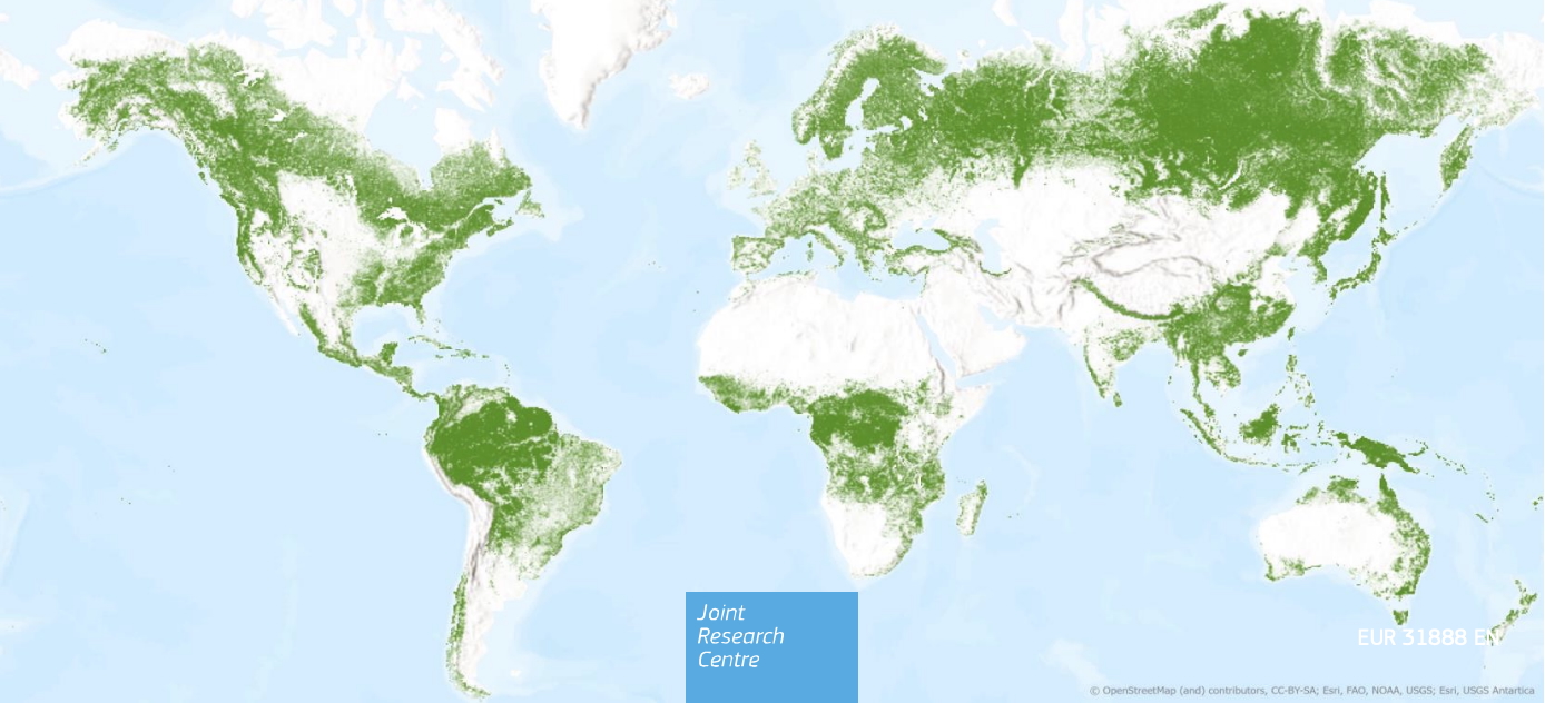
EU JRC Global Forest Cover 2020
Single harmonized globally-consistent forest cover map
The second version of the Global Forest Cover map, released by the Joint Research Center (JRC) of the European Commission in 2024, offers a detailed, spatially explicit representation of forest presence and absence in 2020 at a 10 m resolution. Based on datasets on tree cover, height, land cover, and land use the workflow determines the maximum forest extent and refines it through overlays, decision rules, and the exclusion of areas like agricultural plantations, shifting cultivation or wetlands to identify forests according to the FAO forest definition.
The freely and unrestricted data is intended as a tool for companies to register potential deforestation risks in their supply chain and comply with the EU Deforestation-Free Supply Chains Regulation (EUDR 2023/1115). Beyond regulatory compliance, the global tree cover data can aid management of natural resources, supporting efforts in climate change mitigation, biodiversity conservation, and disaster prevention. By providing a comprehensive understanding of global forest extents, it may contribute to informed decision-making for sustainable development and environmental stewardship.
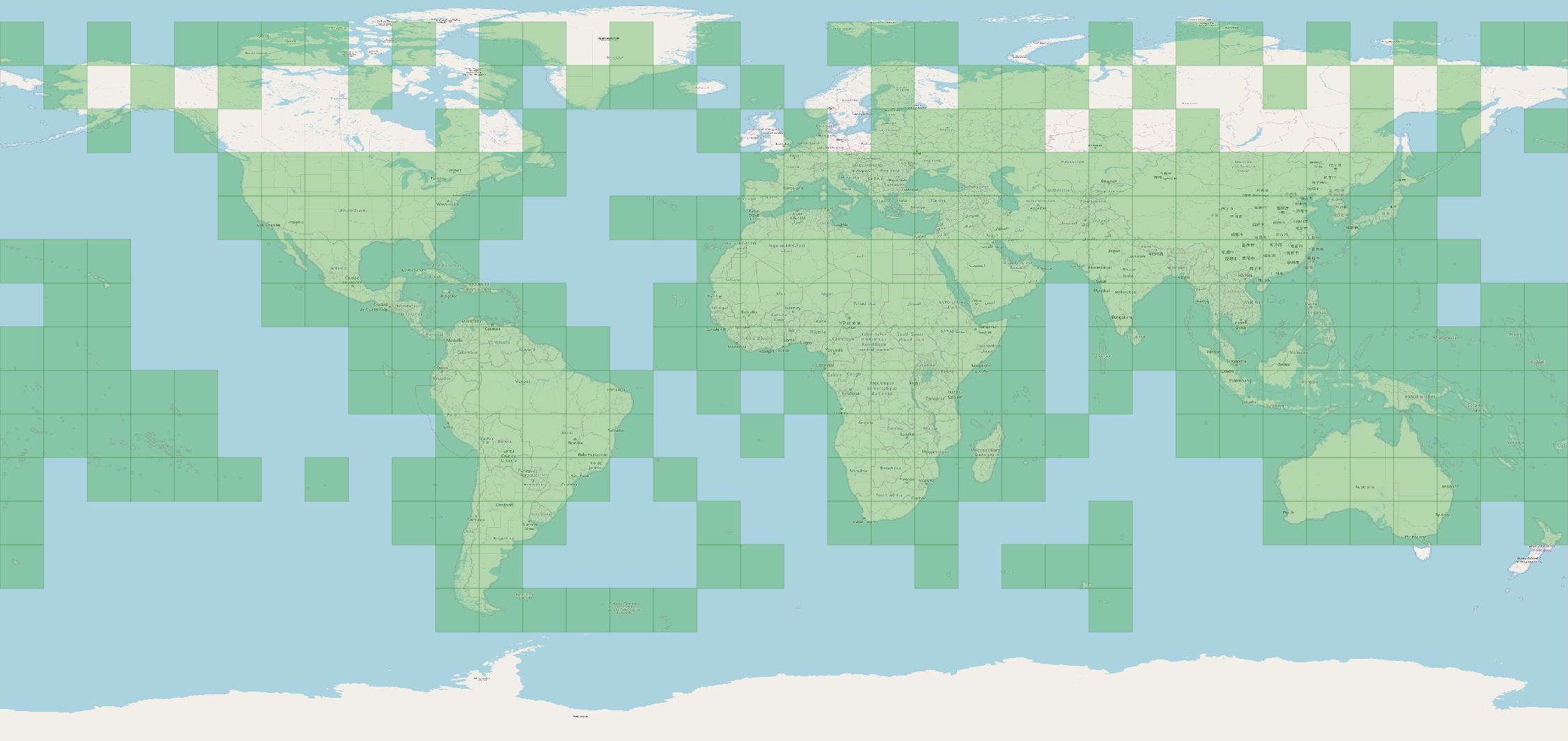
Data overview
Usage requirements
- Registration on CODE-DE: yes
- Cloud resources on CODE-DE: yes
- Individual request: yes (to establish access)
Data access
These data are open and available for everyone on CODE-DE. Please create a support ticket to get the access information!
More information
More information can be found here on these external sources, among others:




