
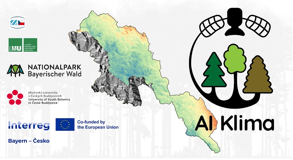
Interreg project "AI-Klima"
The aim of the Interreg project "AI-Klima" is to assess the condition of forests using innovative remote sensing methods and advanced artificial intelligence algorithms. Based on these remote sensing analyses, a forest hazard map will be created for the neighbouring Bavarian Forest and Šumava National Parks (Czech Republic), which together form the largest forest protection area in Central Europe, in order to strengthen the stability and resilience of forests in the age of climate change.
As part of the project, key aspects of the forest will be examined on the basis of a longer time series and development trends will be analysed. The temporal changes in these parameters are identified and their correlations with various climate factors are analysed. The findings will be incorporated into an integrative forest hazard map. It becomes clear which factors significantly influence forest health and how they are interlinked. The results provide valuable decision-making aids for forest management in order to recognise potential risks at an early stage and implement suitable measures in a targeted and timely manner. The results are also ideal for the long-term monitoring of forests and contribute to a better understanding of the effects of climate change on forest ecosystems.
Before the final product, the forest hazard map, can be created, the changes in phenology, tree species structure, biomass and forest condition in both national parks over the last two decades must be comprehensively analysed. This requires a total of five workflows or models. An essential component of these processes is the reference data used for training, validation and testing. This challenge arises from the spatial and temporal limitations of the available data. It is therefore necessary to develop a suitable harmonisation approach in order to standardise the data across borders and ensure a reliable temporal assignment to the remote sensing data. The data basis includes satellite data from Landsat and Sentinel, drone images, airborne laser scanning data and field data, for example from forest inventories or mobile laser scanners. Once the changes in the various aspects have been analysed, an integrative approach is required in order to link the different trend developments with each other in a meaningful way. Initial tests have not yet been carried out. The project is currently in the data preparation phase: the data basis is being created, reference labels are being generated and initial analyses - for example to identify tree species - have already been carried out.
The CODE-DE platform is primarily used to access sentinel data and forms the basis for creating a FORCE datacube for the respective research area. A powerful computing environment is required in order to efficiently apply machine learning and deep learning algorithms on this basis - which is why the use of a virtual machine (VM) is indispensable and offers a major advantage.




