
Predicting Wheat
The aim of this project is to predict wheat yields at district level using deep learning and Earth observation data. The project relies primarily on Sentinel satellite imagery, as this offers high temporal and spatial resolution, enabling continuous monitoring of agricultural land throughout the growing season.
Yield forecasting at the county level is particularly challenging because detailed yield data at the field level is generally unavailable, while national statistics are too coarse to capture regional variations. This project aims to bridge this research gap by developing models capable of learning county-level yield patterns from satellite observations despite weak spatial supervision.
Unlike retrospective yield estimation, the focus of this project is on prospective forecasting—predicting future wheat yields prior to harvest. Such forecasts could support agricultural monitoring, food security assessments, and market analyses.
The project aims to provide value to several groups:
- Agricultural policy decision-makers – Improved monitoring of regional crop production as well as early identification of potential risks to food security.
- Supply chain and market analysts – Earlier yield estimates to serve as a basis for logistics and pricing decisions.
- Farmers and cooperatives – Comparison of regional yield trends and deviations.
Project Duration
01.12.2025 to (expected) 01.10.2026
Use of CODE-DE-Lab in the Project
CODE-DE-Lab is primarily used for preprocessing and reducing large satellite datasets prior to data download. Both Sentinel and Landsat data are utilized for this purpose.
Access to powerful virtual machines makes it possible to perform other computationally intensive tasks directly on the CODE-DE-Lab infrastructure, in addition to processing the satellite data itself. This significantly reduces reliance on local hardware resources and supports the efficient processing of large data volumes.
Further information on the research context can be found on the website of the Chair of Embedded Systems and Sensors for Earth Observation (ESSEO) at Julius-Maximilians-Universität Würzburg: https://www.informatik.uni-wuerzburg.de/esseo/research/
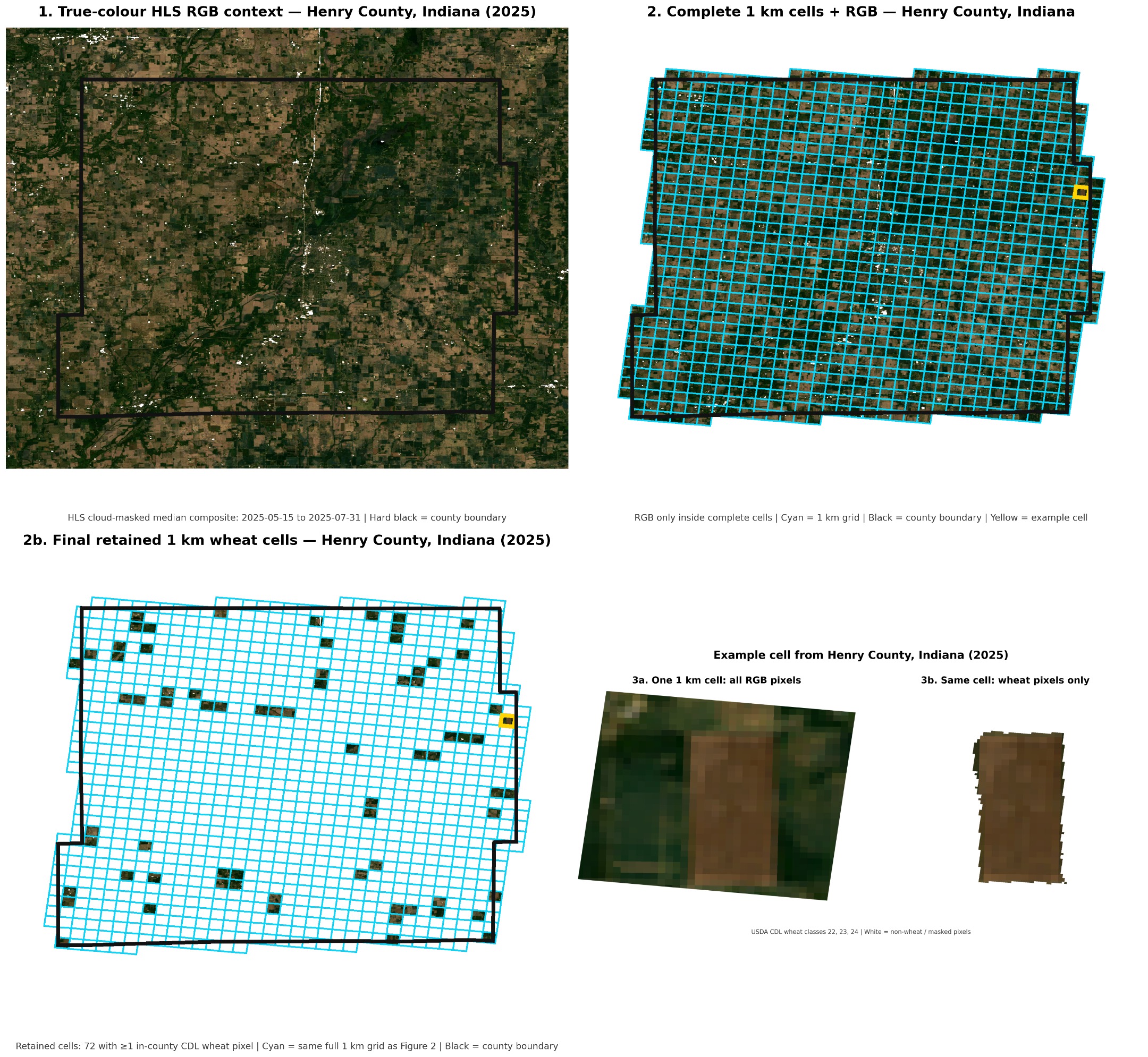
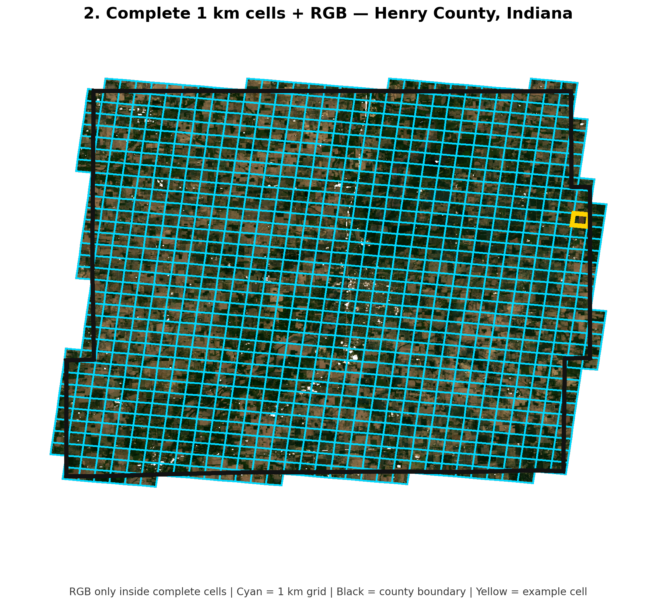
The figures show spatial data reduction prior to the actual data download. First, an entire county is covered using Sentinel and Landsat data and divided into a regular 1 km grid. Subsequently, only the grid cells containing wheat areas are retained. Within these cells, only the satellite pixels classified as wheat are used. As a result, an entire county can be reduced to a comparatively small set of relevant, wheat-specific satellite data, which is then used for feature extraction and yield forecasting.




