
Remote sensing for land surveying
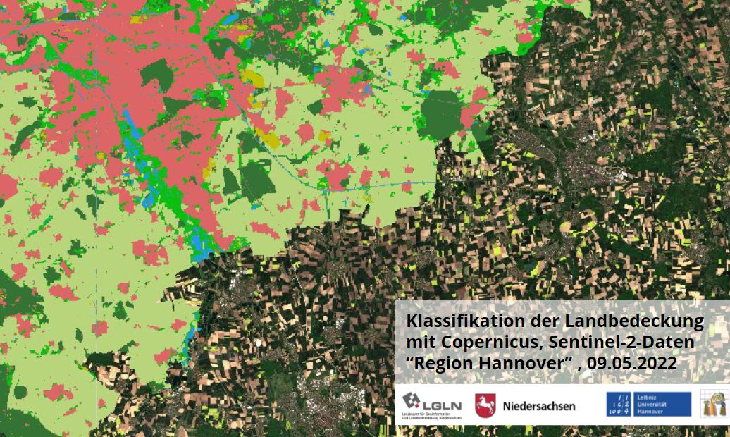
Remote sensing with deep learning for land surveying task in Lower Saxony
In a joint research and development project with the Institute of Photogrammetry and Geoinformation (IPI) of the Leibniz Universität Hannover and the State Office of Lower Saxony for Geoinformation and Surveying (LGLN), new AI remote sensing methods are developed since 2019-07-01.
The aim is to automatically classify the content of the Sentinel imagery to obtain change indications. These change indications can be used to update existing geodata or to answer individual questions about land cover change.




