
DynamicEarthNet
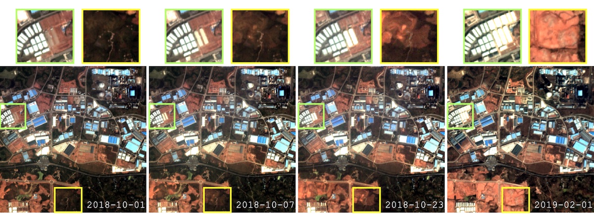
The DynamicEarthNet dataset is compiled by the Technical University of Munich (TUM), DLR and Planet Labs and is provided on EO-Lab as a copy of the original dataset with no changes. It contains daily Planet Fusion imagery with monthly land cover classes for 75 areas across the globe over two years. For each dataset seven land cover classes were manually annotated in a temporally consistent way. Additionally, Sentinel 2 imagery is provided for reference. This dataset is intended as a large-scale multi-class and multi-temporal change detection benchmark and provided to foster multi-temporal research in Earth Observation as well as Computer Vision. A detailed description is available in a paper by Toker et.al., 2022.
Usage requirements
| Required? | Remark | |
| Registration on EO-Lab | Yes | --- |
| Cloud resources on EO-Lab | Yes | --- |
| Individual request | Yes | --- |
Data access
These data are only available on individual request. Please create a support ticket to request the access information.
More information
Further information on this product can also be found on the following external pages:
References
In the reference below, the DynamicEarthNet dataset containing daily Planet Fusion imagery with monthly land cover is used. End date of data generation is 30 September 2021.
Terms of Use
Use of the product is subject to the following terms of use:




