
MDAS
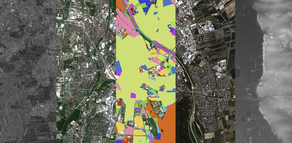
MDAS is a new benchmark data set for the city of Augsburg that provides researchers rich options on data selections.
MDAS has remote sensing data of five modalities. They are SAR data, multispectral image, hyperspectral image, DSM, and GIS data. The region of interest (ROI) is the city of Augsburg, Germany, and covers an area of 121.7 km2. Apart from the GIS data, the other data are all collected on the same day, 7 May 2018.
In Earth observation, multimodal data fusion is an intuitive strategy to break the limitation of individual data. Complementary physical contents of data sources allow comprehensive and precise information retrieve. Future applications will have many options on data sources. Such privilege can be beneficial only if algorithms are ready to work with various data sources. However, current data fusion studies mostly focus on the fusion of two data sources.
Method of data assessment
- Processing of Sentinel-1 imagery using ESA SNAP toolbox
- Sentinel-2 L2A product fetched from Sentinel Hub
- HySpex (hyperspectral) data acquired by the Remote Sensing Technology Institute of DLR in 23 flight strips (on a Dornier DO228-212 plane)
- Digital Surface Model (DSM) acquired with 3K camera in 23 flight strips
- Geographic Information System (GIS) data downloaded from Open Street Map
- Manually labeled data
Availability
- Augsburg, Germany, May 7, 2018
Usage requirements
| Required? | Remark | |
| Registration on EO-Lab | Yes | --- |
| Cloud resources on EO-Lab | Yes | --- |
| Individual request | Yes | --- |
Data access
These data are only available on individual request. Please create a support ticket to request the access information.
More information
Further information on this product can also be found on the following external pages:
- MDAS, mediaTUM, Universitätsbibliothek, Technische Universität München
- MDAS: a new multimodal benchmark dataset for remote sensing
Terms of use
Use of the product is subject to the following terms of use:




