
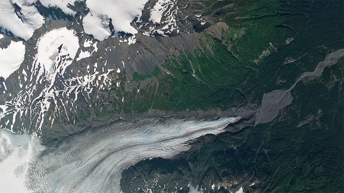
RapidEye Germany
RapidEye, formerly operated by Planet, is a retired constellation of five satellites that were in operation from 2009 to 2020. RapidEye images are approximately 5 meters per pixel resolution.
The RapidEye satellite constellation consisted of a single launch of five high resolution satellites. RapidEye Products are available in the form of Scene and OrthoTile products, which are encoded in our platform as a set of Item Types and Asset Types.
Item Types
- A RapidEye Scene Product is an individual framed scene, captured by the satellite in its line-scan of the Earth. Scenes within a strip are overlapping, and not organized to any particular tiling grid system. RapidEye Scene Products range from 75 x 50 square kilometers to 75 x 300 square kilometers. They are represented as the REScene item type.
- A RapidEye OrthoTile Product is a 25 x 25 square kilometers orthorectified and tiled product generated from a set of consecutive scenes within a strip (usually 1 or 2), based on a worldwide, fixed UTM grid system. They are represented as the REOrthoTile item type.
Asset Types
RapidEye Scene and OrthoTile imagery products are available for download in the form of imagery assets. Multiple Asset Types are available for Scene and OrthoTile products, each with differences in radiometric processing, and/or rectification.
Asset Type availability varies by Item Type. You can find an overview of supported assets by Item Type here:
Basic Analytic (basic_analytic) assets are non-orthorectified, calibrated, multispectral imagery products that have been corrected for sensor artifacts and transformed to Top of Atmosphere (at-sensor) radiance. These products are designed for data science and analytic applications, and for users who wish to geometrically correct the data themselves (leveraging the associated rational polynomial coefficient Asset Type).
Analytic (analytic) assets are orthorectified, calibrated, multispectral imagery products that have been corrected for sensor artifacts and terrain distortions, and transformed to Top of Atmosphere (at-sensor) radiance. These products are designed for data science and analytic applications which require imagery with accurate geolocation and cartographic projection.
Visual (visual) assets are orthorectified and color-corrected to optimize colors seen by the human eye, providing images as they would look if viewed from the perspective of the satellite. These products are designed for simple and direct visual inspection, and can be used and ingested directly into a Geographic Information System or application.
Surface Reflectance (analytic_sr) assets are orthorectified and radiometrically corrected to ensure consistency across localized atmospheric conditions, and to minimize uncertainty in spectral response across time and location. These products are designed for temporal analysis and monitoring applications, especially in agriculture and forestry sectors.
Usage requirements
- Registration on EO-Lab: yes
- Cloud resources on EO-Lab: yes
- Individual request: yes
Data access
These data are only available on individual request and for authorised institutions only.
To request access to the existing data in the EO-Lab RESA Archive, please go to "Data Request" in the Profile Manager on EO-Lab, then click on "Create Request" and choose "Data access". Your application will be reviewed and you will be contacted with further information. Once granted access, you will see the data in
- /eolab/RapidEye-DE
More information
More information can be found here on these external sources, among others:
- General information about PlanetScope: https://developers.planet.com/docs/data/rapideye/
- RapidEye product specification: https://developers.planet.com/docs/data/rescene/




