
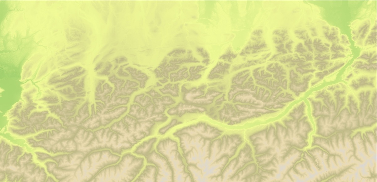
TanDEM-X DEM - 90m
Note: This product will soon be available on EO-Lab.
The TanDEM-X 90m (3 arcsec) DEM is a product variant of the 12m (0.4 arcsec) DEM product in Version 1.0 and represents a Digital Surface Model (DSM), i.e. it does not represent the bare Earth surface, as it reflects the presence of vegetation or man-made objects.
The current release is the non-edited version, which means each TanDEM-X DEM product can contain:
- Processing artefacts and outliers
- Noisy areas (e.g. water surfaces, steep slopes, dense vegetation) with at least partly unreliable height values. Water surfaces (or other noisy surfaces) are not filtered, delineated or flattened!
- Voids or Invalid Data, areas with missing height values.
- No void filling or interpolation has been applied to the current TanDEM-X data DEM sets!
The horizontal as well as the vertical reference system (horizontal & vertical datum) of TanDEM-X DEM products is the WGS84 ellipsoid (realization G1150). The heights of the TanDEM-X DEM products are ellipsoidal heights.
The global accuracy goals for the TanDEM-X 12m (0.4 arcsec) DEM products have been defined as follows:
- The Absolute horizontal accuracy, expressed as a circular error at 90% confidence level (CE90): below 10m
- The Absolute vertical accuracy expressed as a linear error at 90% confidence level (LE90): below 10m
- The Relative vertical accuracy expressed as linear errors at 90% confidence level (LE90) for slopes at or below 20% at 2m, and for slopes above 20% at 4m.
Validation results have shown, that the performance goal for the 12m DEM have been reached, and that the absolute vertical error and the relative vertical error are both well below the specified performance goal. Due to spatial averaging the relative vertical error of the TanDEM-X 90m (3arcsec) product is much better than the relative vertical error of the TanDEM-X 12m (0.4 arcsec) product.
The TanDEM-X 90m DEM product is delivered in a compressed ZIP (*zip) format. Each zip file contains a main folder, which contains basically the meta data of the product in XML (*.xml) format. In the main folder there are 3 subfolders:
- DEM: The DEM raster layer
- AUXFILES: The 7 information raster layer
- PREVIEW: All quicklook raster and KML files
7 additional information layers are available:
- Height Error Map (HEM)
- Amplitude Mosaic (AMP) representing the mean value
- Amplitude Mosaic (AM2) representing the minimum value
- Water Indication Mask (WAM)
- Coverage Map (COV)
- Consistency Mask (COM)
- Layover and Shadow Mask (LSM), based on SRTM C-band and Globe DEM data
The DEM as well as the 7 Information layer are in GeoTIFF (*.tif) raster format, but with different bit depths and data types. Please note that in contrast to the file naming convention the annotated ModelTiepointTag in the GeoTIFF raster file header refers to the pixel center in the northwest corner, which corresponds to the ‘RasterPixelIsPoint’ raster space definition (value of the tag GTRasterTypeGeoKey is set to ‘2’) of the GeoTIFF specification.
For the DEM as well as for the 7 information layers quicklooks in a GeoTIFF (*.tif) raster format are provided, associated with a KML file for inspection in Google Earth. Additional quicklook raster files with a legend and a map border in PNG (*.png), but without an associated KML file, are available as well.
The meta data file includes a list of all RawDEM scenes contributing to the final DEM mosaic, with exact acquisition dates and corner coordinates. The polygon outline of all RawDEM scenes is in addition provided by a KML file in the PREVIEW folder.
Usage requirements
| Required? | Remark | |
| Registration on EO-Lab | Yes | --- |
| Cloud resources on EO-Lab | Yes | --- |
| Individual request | No | --- |




