
Portfolio
Daten, Ressourcen, Software und Prozessoren auf der CODE-DE-Cloud.
-
 Community Contributions
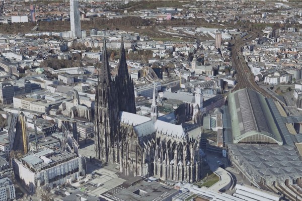
3D-Mesh Nordrhein-Westfalen (b3dm)
-
 Community Contributions
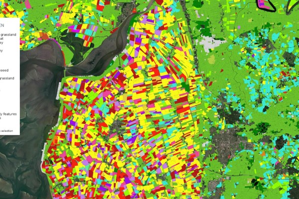
Bundesweite Karten der landwirtschaftlichen Flächennutzung (DE)
-
 Cloud Services
CODE-DE Cloud Service im NoR
-
 Community Contributions
CODE-DE on GitHub
-
 EO-Lab Data
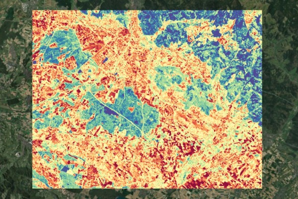
constellr - Landoberflächentemperatur
-
 CODE-DE Data
Copernicus Beitragende Missionen - Übersicht
-
 CODE-DE Data
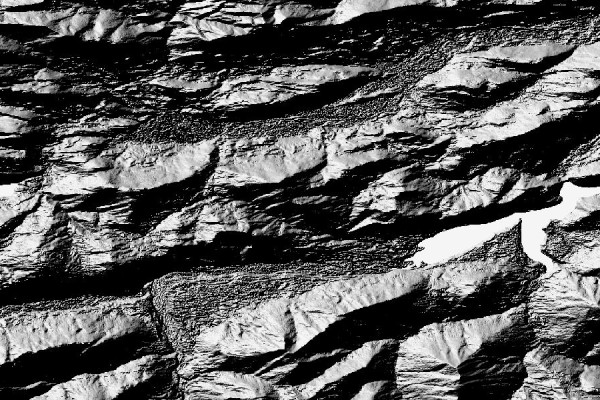
Copernicus DEM (EEA-10)
-
 CODE-DE Data
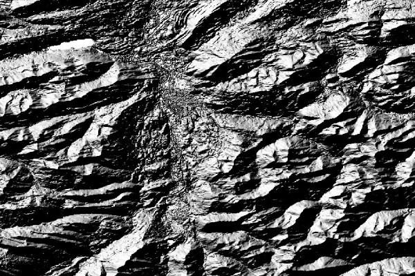
Copernicus DEM (GLO-30)
-
 CODE-DE Data
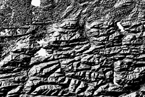
Copernicus DEM (GLO-90)
-
 Cloud Services
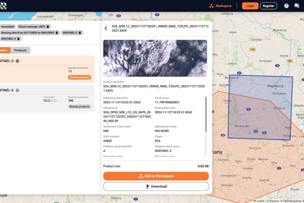
Data Explorer
-
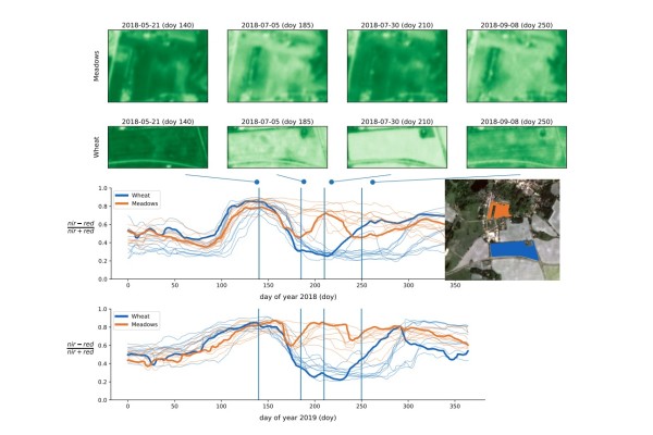 EO-Lab Data
DENETHOR
-
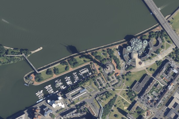 Community Contributions
Digitale Orthophotos - Nordrhein-Westfalen
-
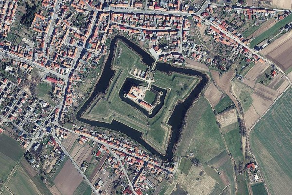 Community Contributions
Digitale Orthophotos - Thüringen
-
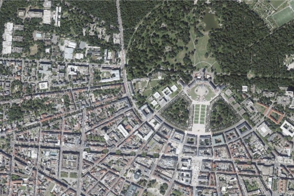 Community Contributions
Digitale Orthophotos Baden-Württemberg
-
 Community Contributions
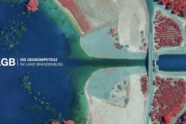
Digitale Orthophotos – Brandenburg und Berlin
-
 EO-Lab Data
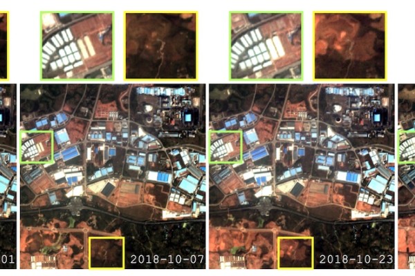
DynamicEarthNet
-
 EO-Lab Data
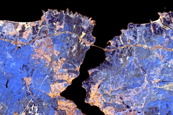
EnMAP - EnMAP L2A HSI
-
 Cloud Services
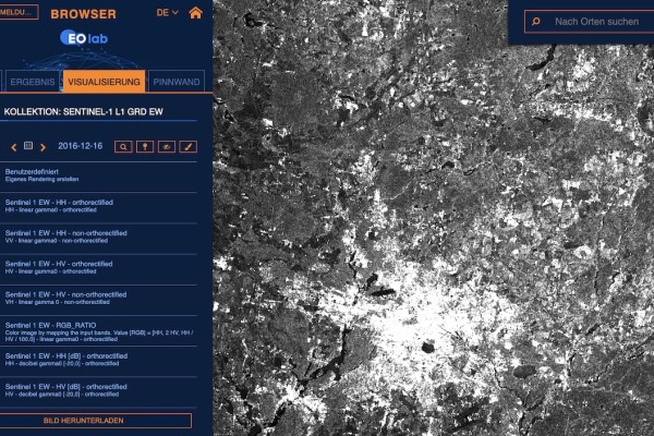
EO Browser
-
 CODE-DE Data
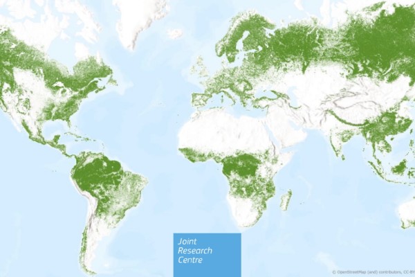
EU JRC Global Forest Cover 2020
-
 CODE-DE Data
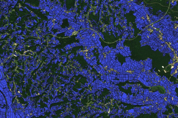
EuroCrops
-
 EO-Lab Data
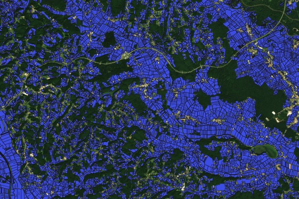
EuroCrops
-
 Cloud Services
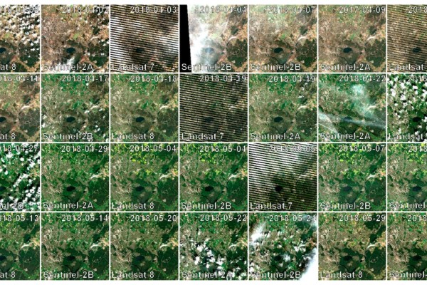
FORCE DataCube Collection
-
 Community Contributions
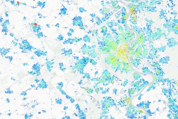
Gebäudehöhen (DE)
-
 Cloud Services
GPU - Graphical Processing Unit
-
 Community Contributions
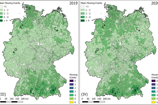
Grünlandmahd in ganz Deutschland
-
 Cloud Services
Hosted Processing
-
 EO-Lab Data
HySpecNet-11k: Hochauflösender Hyperspektral-Benchmark-Datensatz
-
 Cloud Services
Image: OSGeoLive
-
 Cloud Services
Image: Sen4CAP on CentOS
-
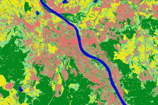 Community Contributions
incora - Siedlungsflächenmonitoring
-
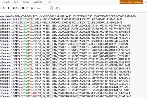 Cloud Services
JupyterLab
-
 CODE-DE Data
Katastrophen- und Krisenmanagement
-
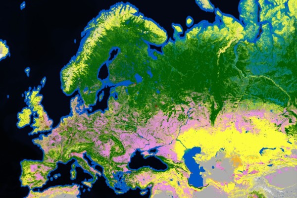 CODE-DE Data
Land - ESA WorldCover
-
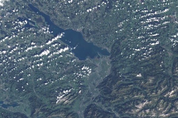 CODE-DE Data
Landsat 5
-
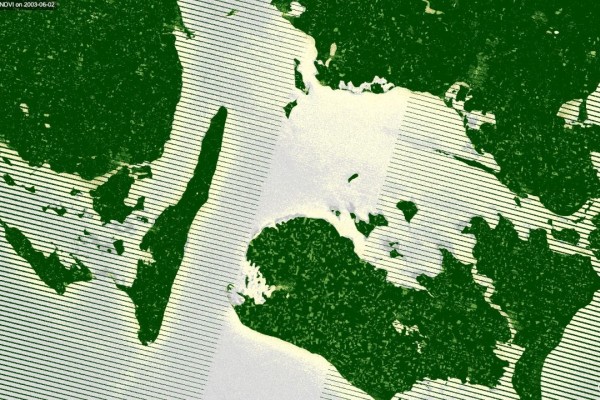 CODE-DE Data
Landsat 7
-
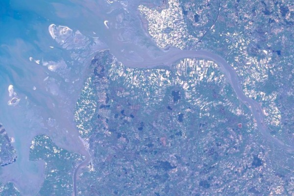 CODE-DE Data
Landsat 8
-
 CODE-DE Data
Landüberwachung
-
 CODE-DE Data
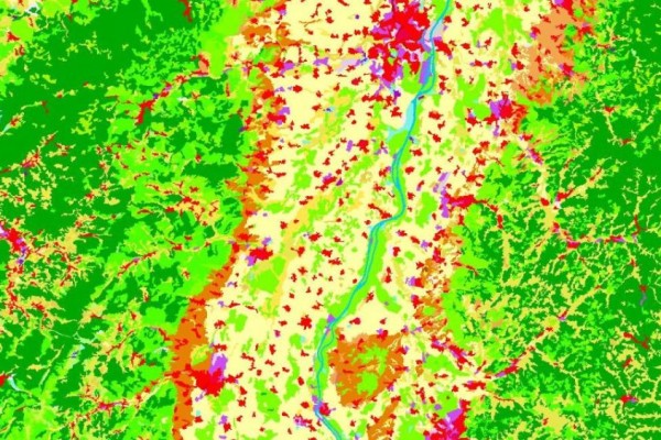
Landüberwachung - CORINE Land Cover
-
 CODE-DE Data
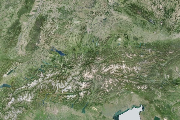
Landüberwachung - VHR Mosaik
-
 Community Contributions
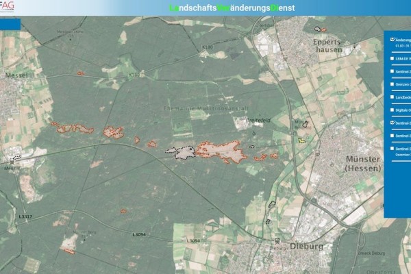
LaVerDi
-
 EO-Lab Data
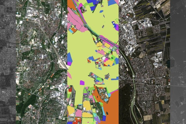
MDAS
-
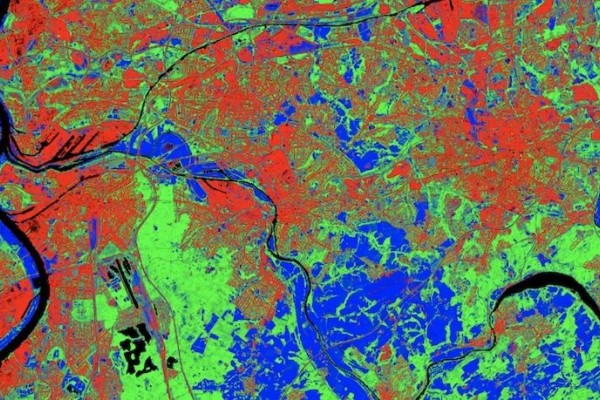 Community Contributions
Mischungsanteile der Landbedeckung (DE)
-
 Cloud Services
Netzwerk und Sicherheit
-
 Cloud Services
Object Storage
-
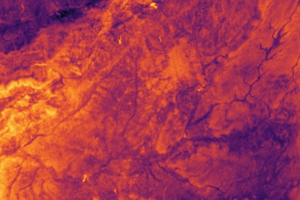 EO-Lab Data
OroraTech - Landoberflächentemperatur
-
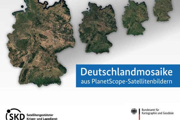 CODE-DE Data
Planet Basemaps - Wolkenfreie Mosaike über Deutschland
-
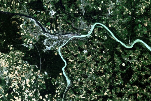 EO-Lab Data
PlanetScope
-
 EO-Lab Data
PlanetScope (RESA)
-
 Cloud Services
Processor: SNAP-C2RCC
-
 Cloud Services
Prozessor: S2 L2A FORCE
-
 Cloud Services
Prozessor: Sentinel-1: SLC Coherence (6 days)
-
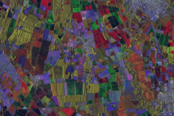 Cloud Services
Prozessor: Sentinel-1: SLC Coherence (12 days)
-
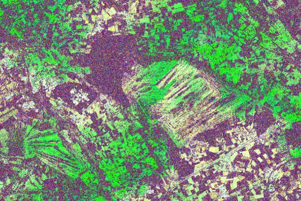 Cloud Services
Prozessor: Sentinel-1: SLC Interferometry (6 days)
-
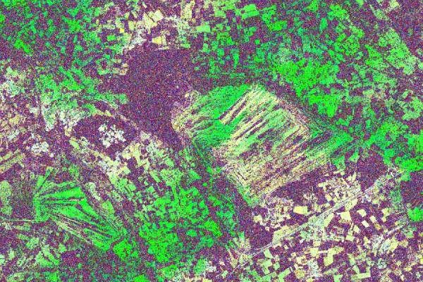 Cloud Services
Prozessor: Sentinel-1: SLC Interferometry (12 days)
-
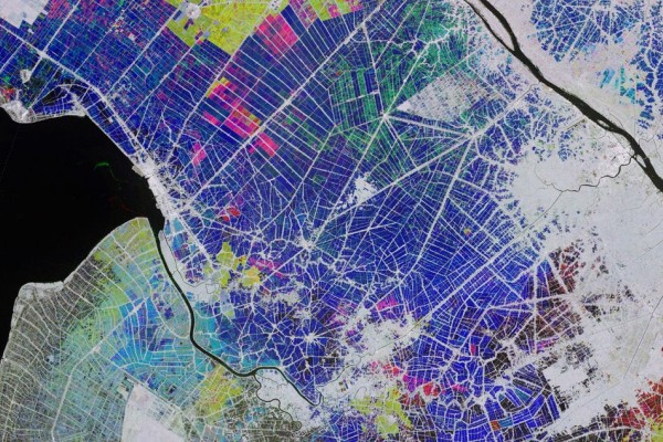 Cloud Services
Prozessor: Sentinel-1: Terrain-corrected backscatter
-
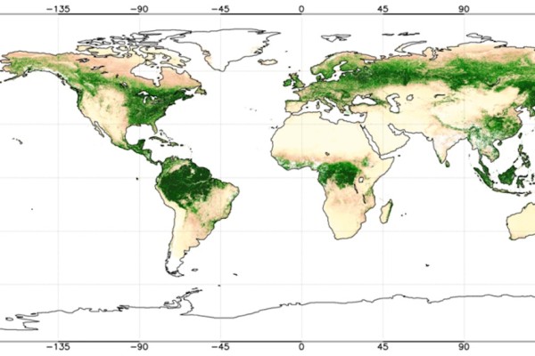 Cloud Services
Prozessor: SNAP-Biophysical
-
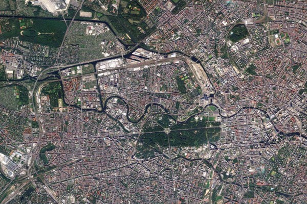 EO-Lab Data
RapidEye (RESA)
-
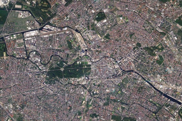 CODE-DE Data
RapidEye Coverage (DE)
-
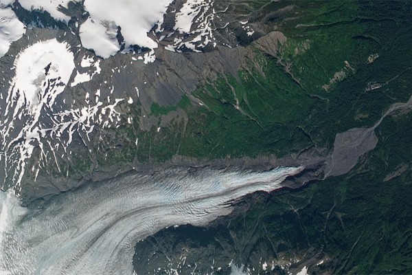 EO-Lab Data
RapidEye Deutschland
-
 Cloud Services
Sen4CAP
-
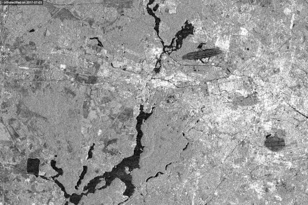 CODE-DE Data
Sentinel-1 L1 GRD
-
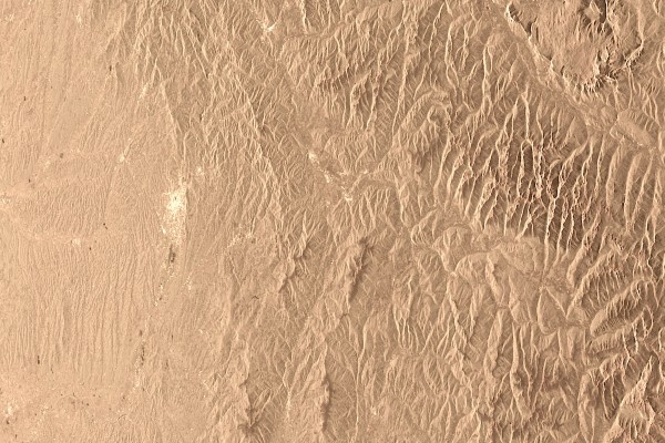 CODE-DE Data
Sentinel-1 L1 SLC
-
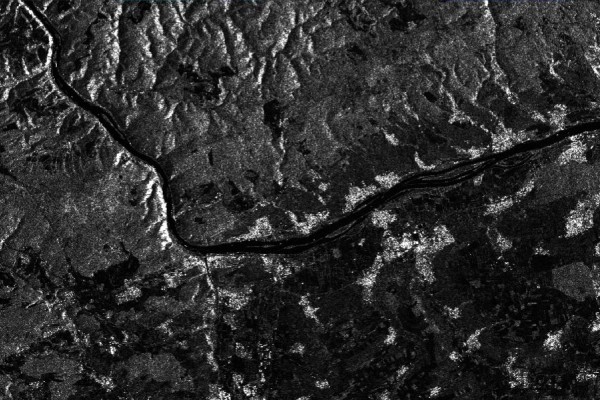 CODE-DE Data
Sentinel-1 L2 BackScatter (BS)
-
 CODE-DE Data
Sentinel-1 L2 OCN
-
 CODE-DE Data
Sentinel-1 L3 BS - Monatliche Komposite
-
 CODE-DE Data
Sentinel-2 L1C
-
 CODE-DE Data
Sentinel-2 L2A MAJA
-
 CODE-DE Data
Sentinel-2 L2A Sen2Cor
-
 CODE-DE Data
Sentinel-2 L3 WASP - Monatliche Komposite
-
 Community Contributions
Sentinel-2-Landkreise
-
 CODE-DE Data
Sentinel-3 L1 OLCI
-
 CODE-DE Data
Sentinel-3 L1 SLSTR
-
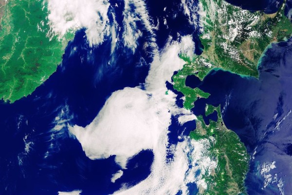 CODE-DE Data
Sentinel-3 L1 SRAL
-
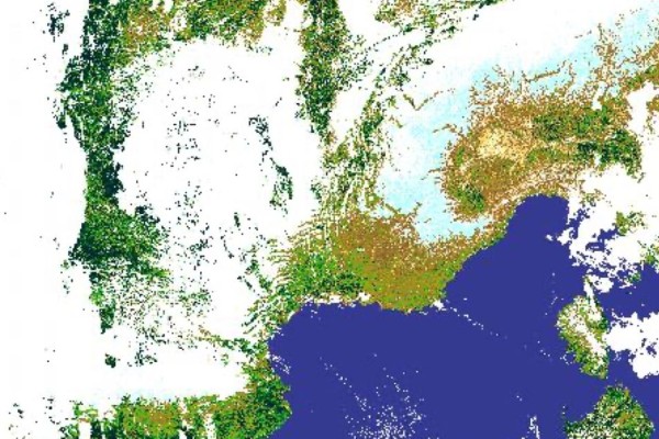 CODE-DE Data
Sentinel-3 L2 OLCI
-
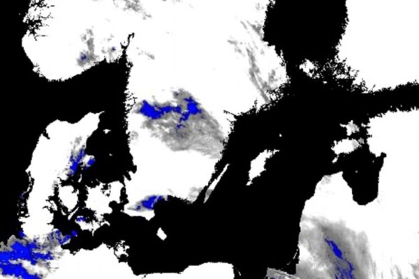 CODE-DE Data
Sentinel-3 L2 SLSTR
-
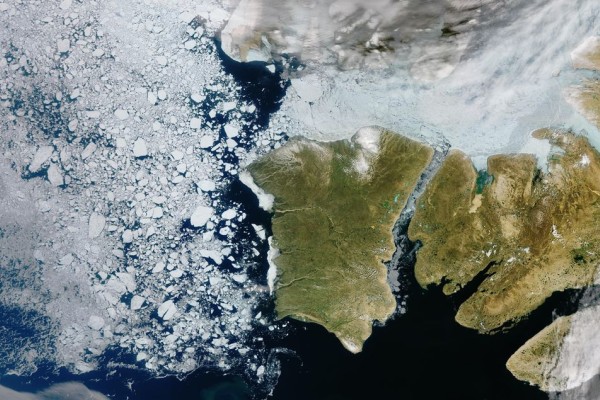 CODE-DE Data
Sentinel-3 L2 SRAL
-
 CODE-DE Data
Sentinel-3 L2 SYNERGY
-
 CODE-DE Data
Sentinel-5P AUX
-
 CODE-DE Data
Sentinel-5P L1
-
 CODE-DE Data
Sentinel-5P L2 AER
-
 CODE-DE Data
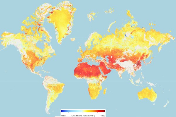
Sentinel-5P L2 CH4
-
 CODE-DE Data
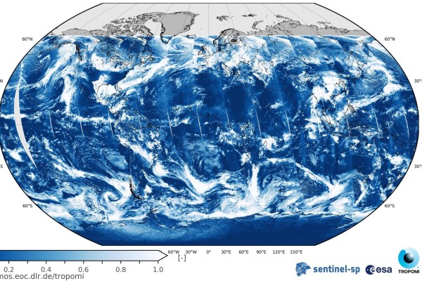
Sentinel-5P L2 CLOUD
-
 CODE-DE Data
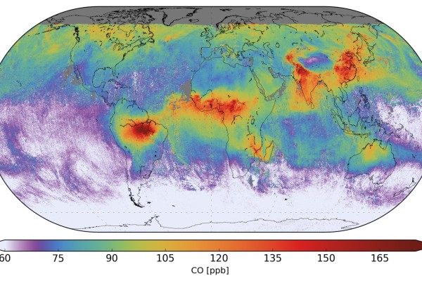
Sentinel-5P L2 CO
-
 CODE-DE Data
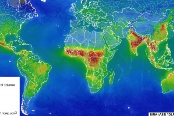
Sentinel-5P L2 HCHO
-
 CODE-DE Data
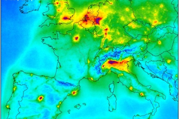
Sentinel-5P L2 NO2
-
 CODE-DE Data
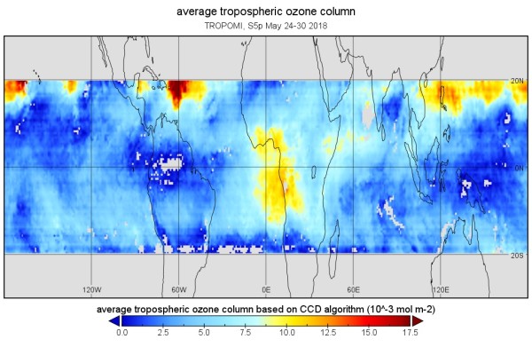
Sentinel-5P L2 O3
-
 CODE-DE Data
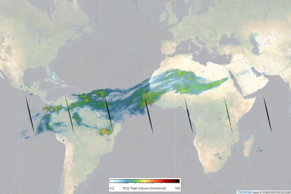
Sentinel-5P L2 SO2
-
 CODE-DE Data
Sentinel-6 L1B Poseidon-4 Altimetry Low Resolution
-
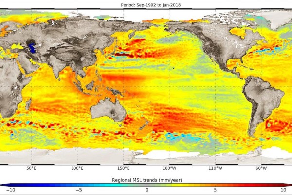 CODE-DE Data
Sentinel-6 L2 AMR-C
-
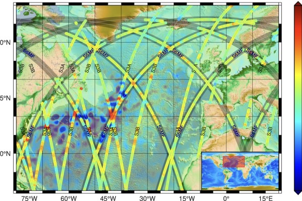 CODE-DE Data
Sentinel-6 L2 Poseidon-4 Altimetry Low Resolution
-
 CODE-DE Data
Servicestelle Fernerkundung
-
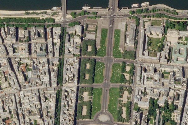 EO-Lab Data
SkySat (RESA)
-
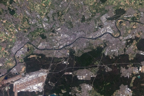 CODE-DE Data
SPOT Abdeckung Deutschland
-
 CODE-DE Data
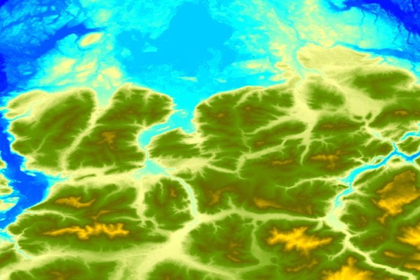
SRTM DEM
-
 EO-Lab Data
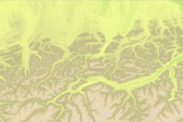
TanDEM-X DEM - 90m
-
 EO-Lab Data
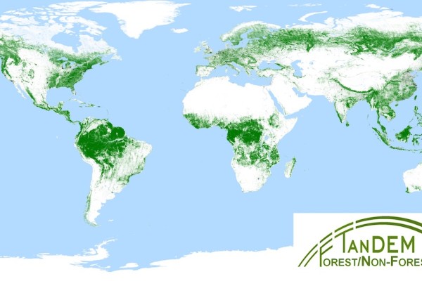
TanDEM-X Forest Map
-
 EO-Lab Data
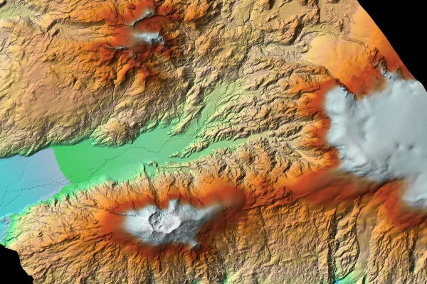
TerraSAR-X Geohazard Supersites
-
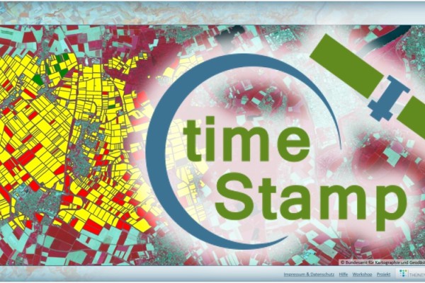 Community Contributions
timeStamp
-
 Cloud Services
User Forum
-
 Cloud Services
Virtuelle Maschinen
-
 Cloud Services
Volume Storage
-
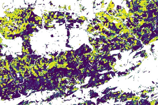 Community Contributions
Waldschadenvorhersagen auf Basis von Sentinel-2-Daten
-
 Cloud Services
Über die CODE-DE Cloud Infrastructure
-
 CODE-DE Data
Überwachung der Atmosphäre
-
 CODE-DE Data
Überwachung der Meeresumwelt
-
 CODE-DE Data
Überwachung des Klimawandels
Keine Ergebnisse.




